Skip to content
vm.

Excavations & basins

Retention basin with ponds

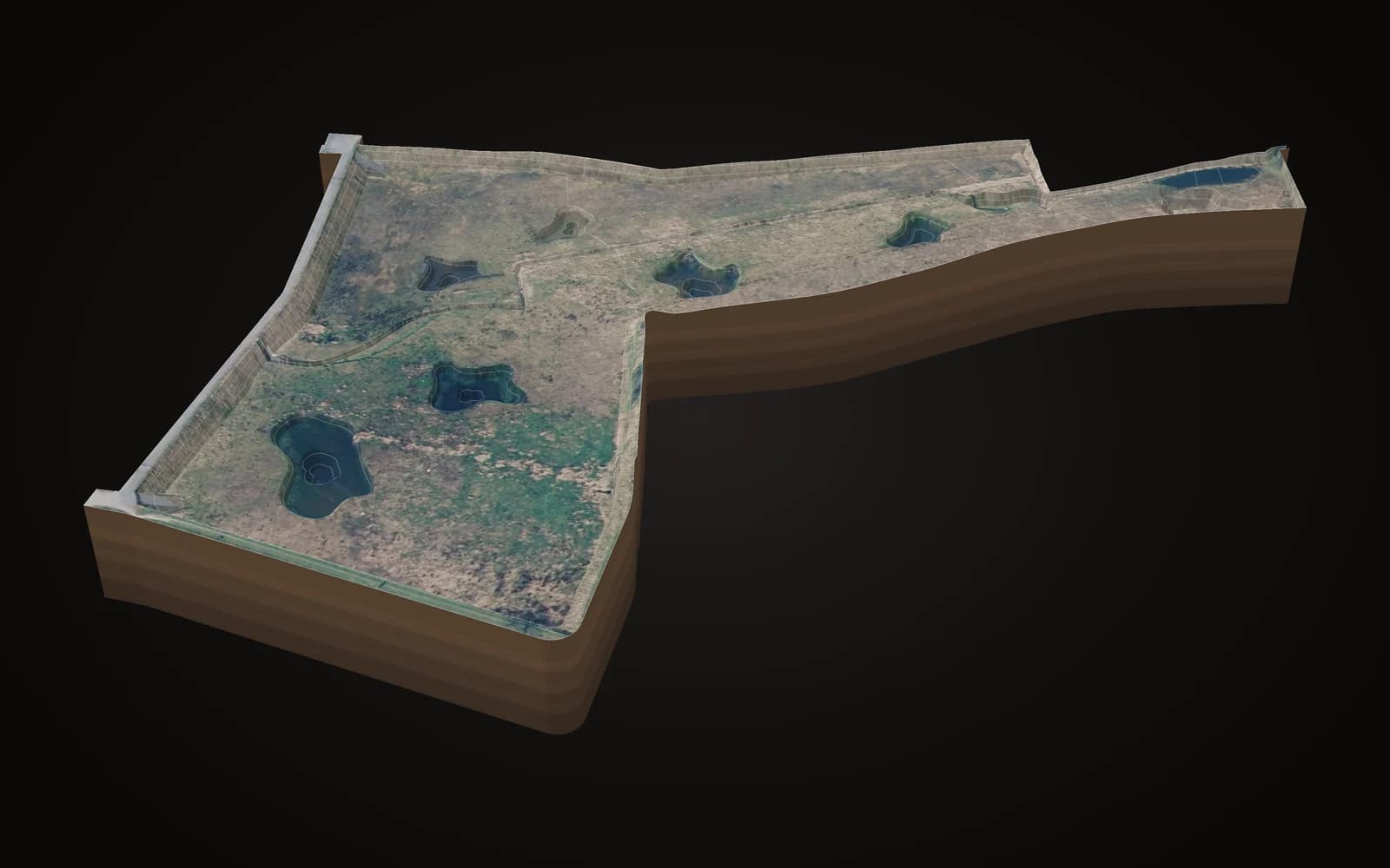
A large retention basin with embankments all round and deepened ponds in the bottom, as it lies today.

Machine control: Leica, Komatsu

We deliver this model for whichever system you specify, in the site's coordinate system. Out of discretion, we do not name the client or the site.
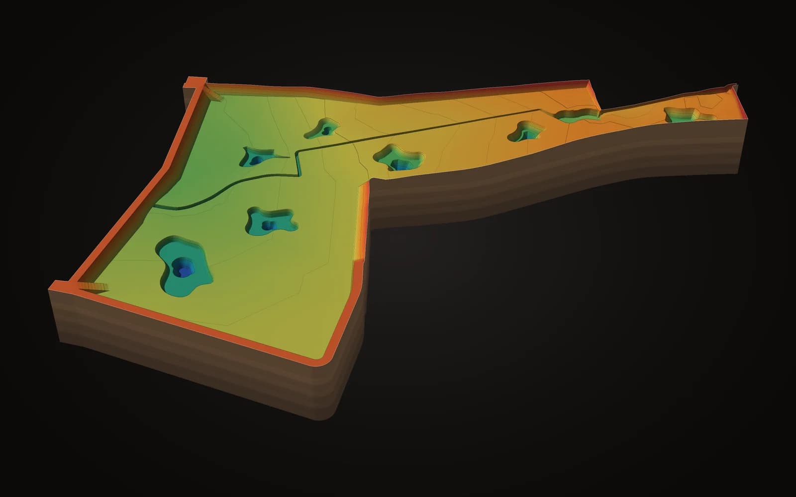
Retention basin with ponds, 3d in height colours
3D in height colours. The model in 3D: every colour is a height.

One model, 5 views

Retention basin with ponds, 3d on the aerial photo
3D on the aerial photo. The same model draped with the aerial photo: how it sits in its surroundings.Aerial photo: © Digitaal Vlaanderen
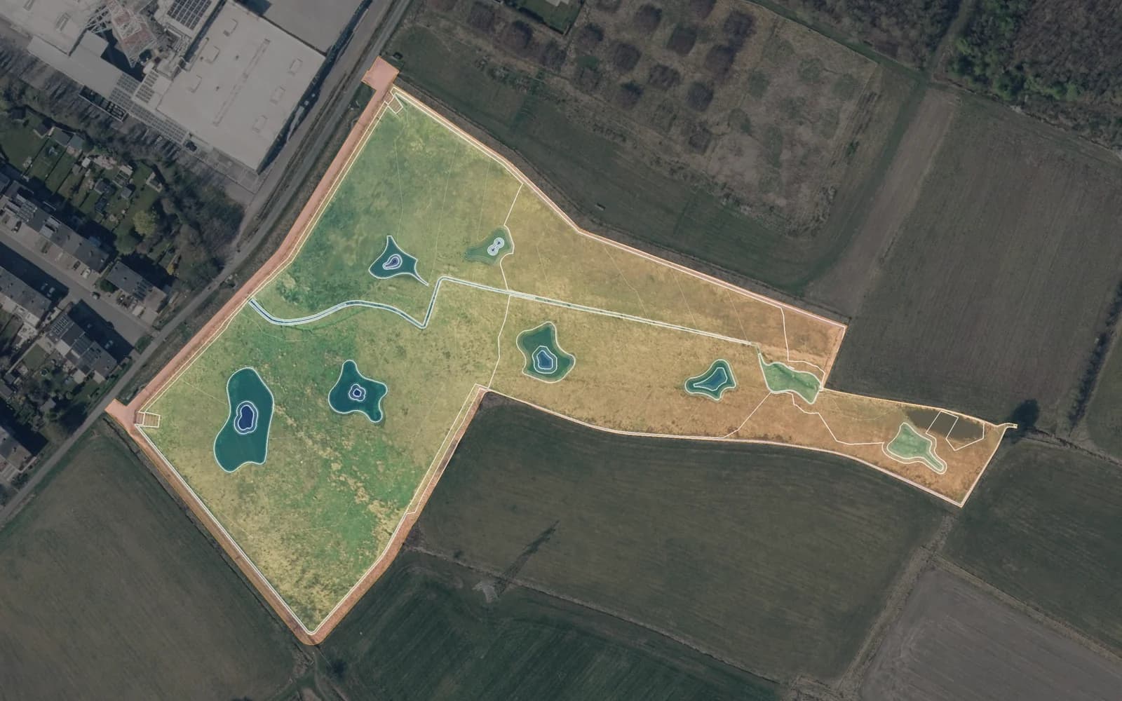
Retention basin with ponds, aerial photo with model
Aerial photo with model. Seen from above on the aerial photo, with the design contours.Aerial photo: © Digitaal Vlaanderen
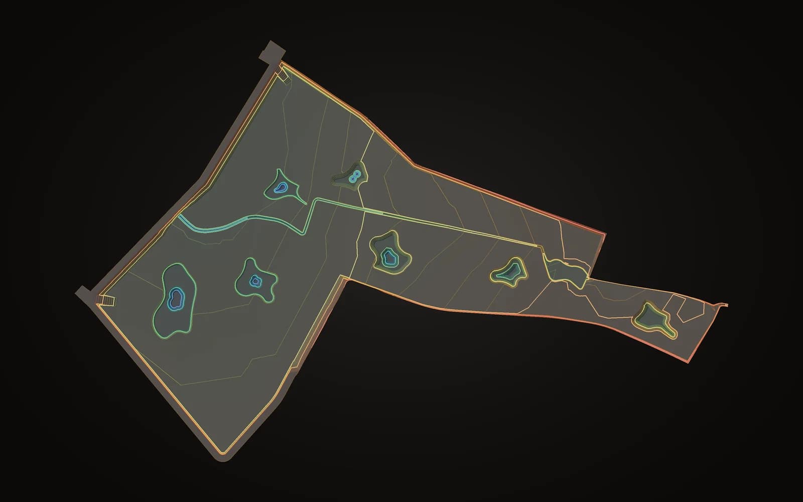
Retention basin with ponds, contours
Contours. The closer the lines, the steeper the ground.
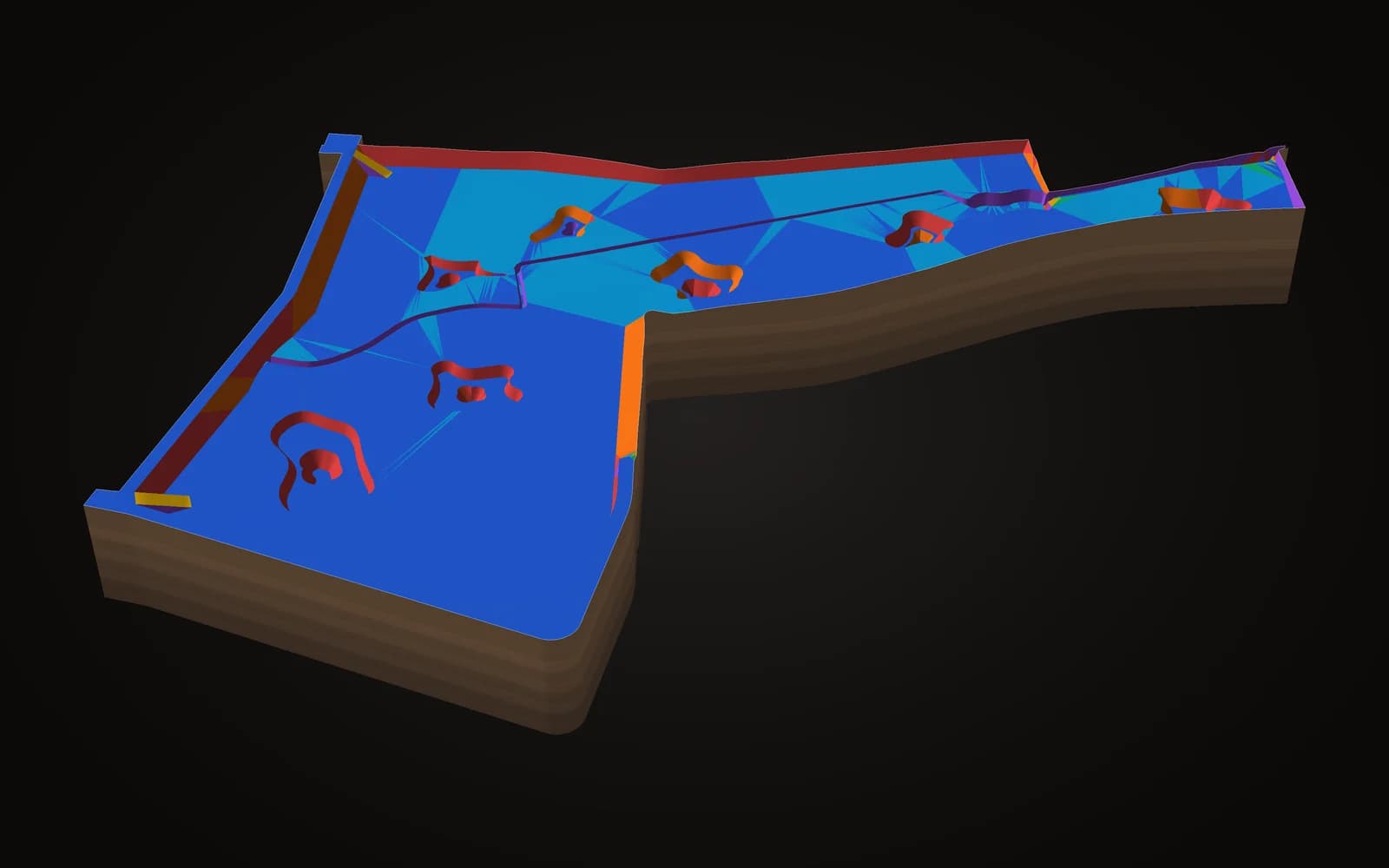
Retention basin with ponds, slope map
Slope map. Flat areas, drainage and batters at a glance.

Your project next?

Send your plans, get a tailored quote

From excavation to road alignment: any project with GPS-guided machines.

Request a quote