Projects
3D models that land on site
A selection of completed machine control models. Out of discretion we leave out client and site names — the models speak for themselves.
We deliver each of these models for Trimble, Topcon, Leica, Unicontrol, CHCNAV, Komatsu and Caterpillar, in the coordinate system and height datum of the site.
Projects in pictures · 15
Every project from every angle
The same model in 3D, on the aerial photo, as contours and as a triangle network. Open a project.
 6 imagesExcavations & basinsCircular excavation for a settling tankA round excavation with a cone-shaped bottom falling to the centre and two trenches for the pipes. Every ring sits at its own level.
 5 imagesEarthworks & platformsFoundations for three buildingsThree blocks with strip footings and trenches, each at its own depth. On the aerial photo the buildings now stand.
 5 imagesEarthworks & platformsBuilding site with platforms and swaleThe finished ground level around several buildings, with a swale and smooth transitions between levels.
 6 imagesRoadsFour-arm roundaboutA roundabout with four connecting roads, crossfall towards the outer edge and every arm tied in to the existing level.
 5 imagesExcavations & basinsRetention basin with pondsA large retention basin with embankments all round and deepened ponds in the bottom, as it lies today.
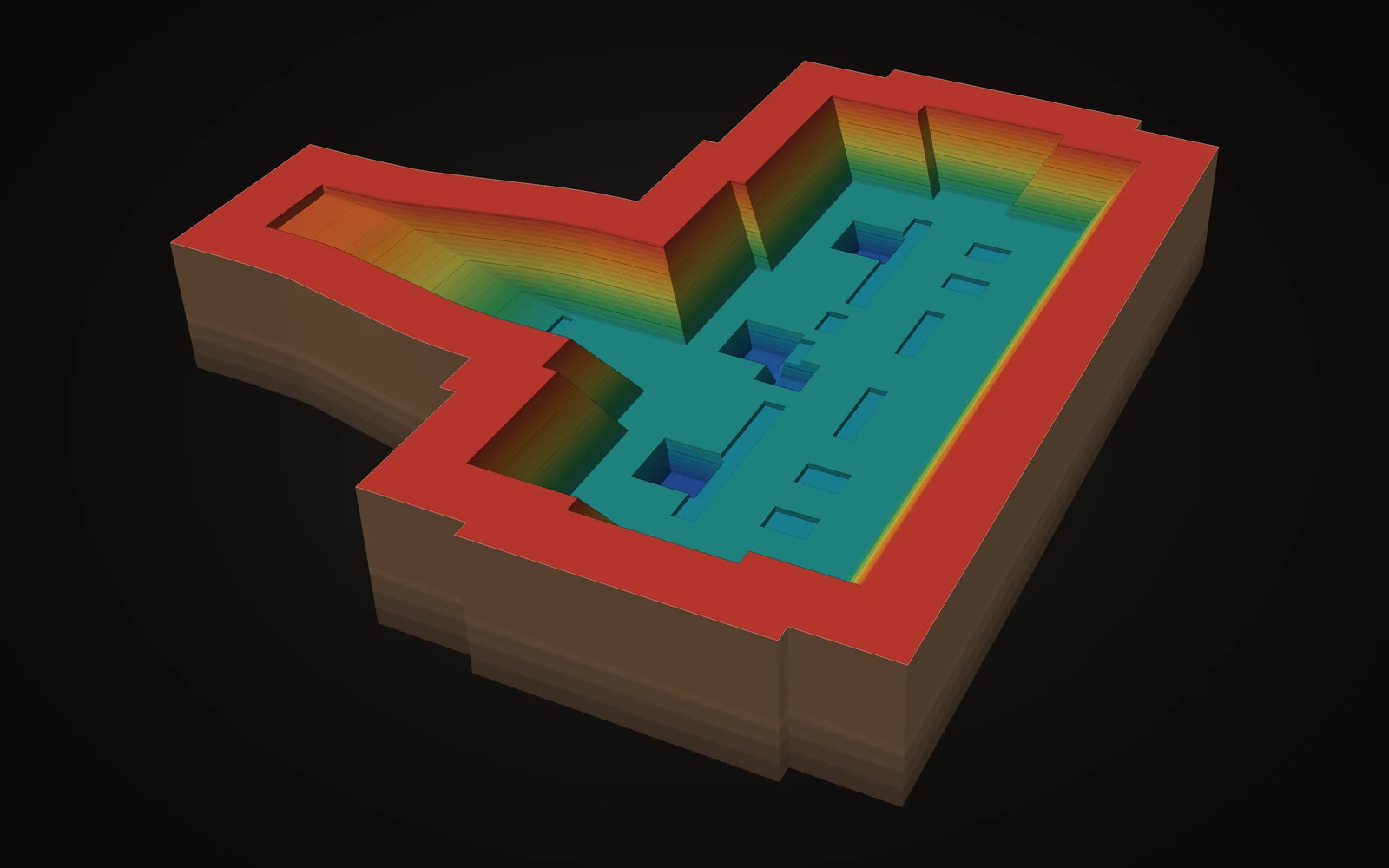 6 imagesExcavations & basinsExcavation with foundation pitsAn excavation battered all round, with a bottom of foundation pits and ground beams, each at its own level.
 5 imagesExcavations & basinsExcavation for a commercial buildingA level excavation with a grid of foundation pits and a batter up to ground level.
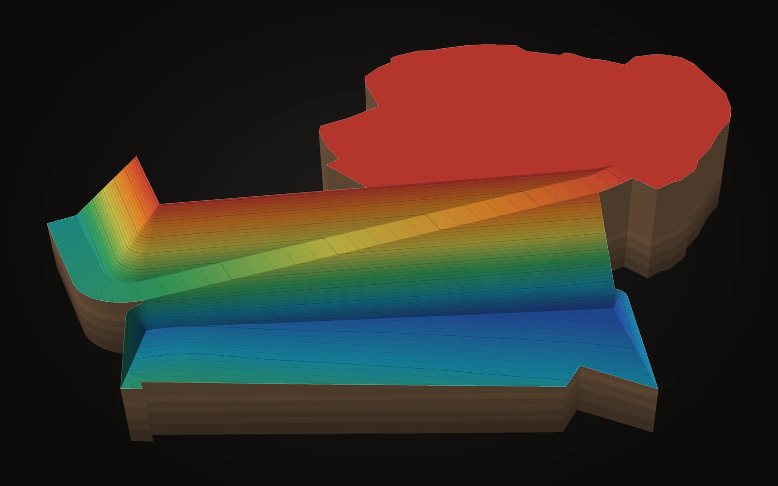 5 imagesEarthworks & platformsPlatforms on two levelsTwo large working platforms at different heights, linked by a batter and a ramp.
 5 imagesTerrain modelsRolling landform designA large site reshaped with gentle slopes and rounded edges that tie in to the surrounding land.
 5 imagesRoadsJunction with a new branchAn existing road with a new branch, tied in on every side to the existing level.
 5 imagesExcavations & basinsWater basin with battersA rectangular water basin with even batters all round and a level bottom.
 5 imagesExcavations & basinsExcavation with a long access rampAn excavation with foundation pits, a batter towards the woodland and a long access ramp for the lorries.
 5 imagesRoadsHousing estate roadsA loop of new roads with tie-ins to the street and a turning head at the end.
 5 imagesEarthworks & platformsPlatform with foundation pitsA level platform with a row of foundation pits along the edge and a cluster of pits in the corner.
 5 imagesExcavations & basinsTwo-level excavationAn excavation with an upper and a lower part, foundation pits in the bottom and batters all round.
Featured
One model, four views
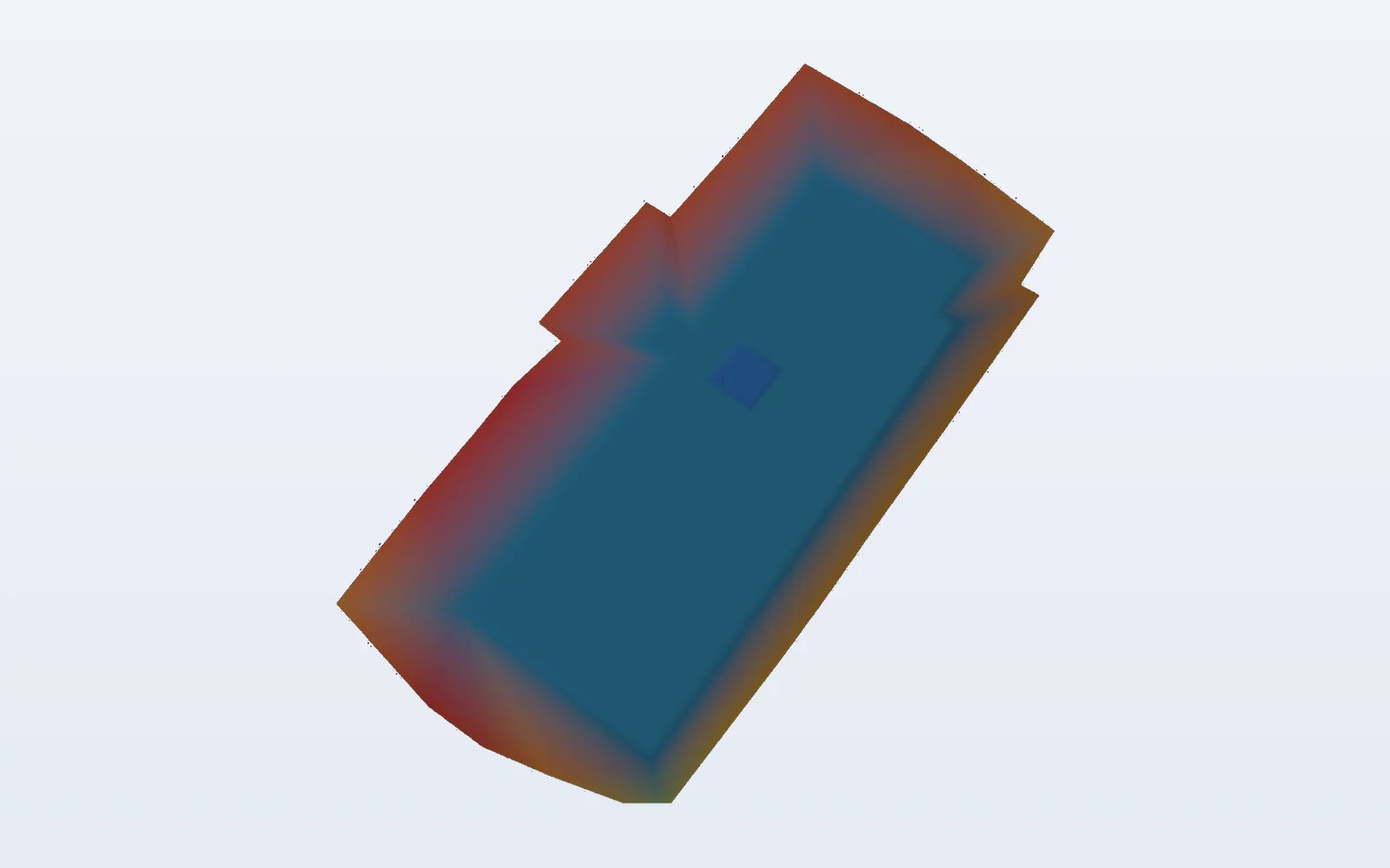
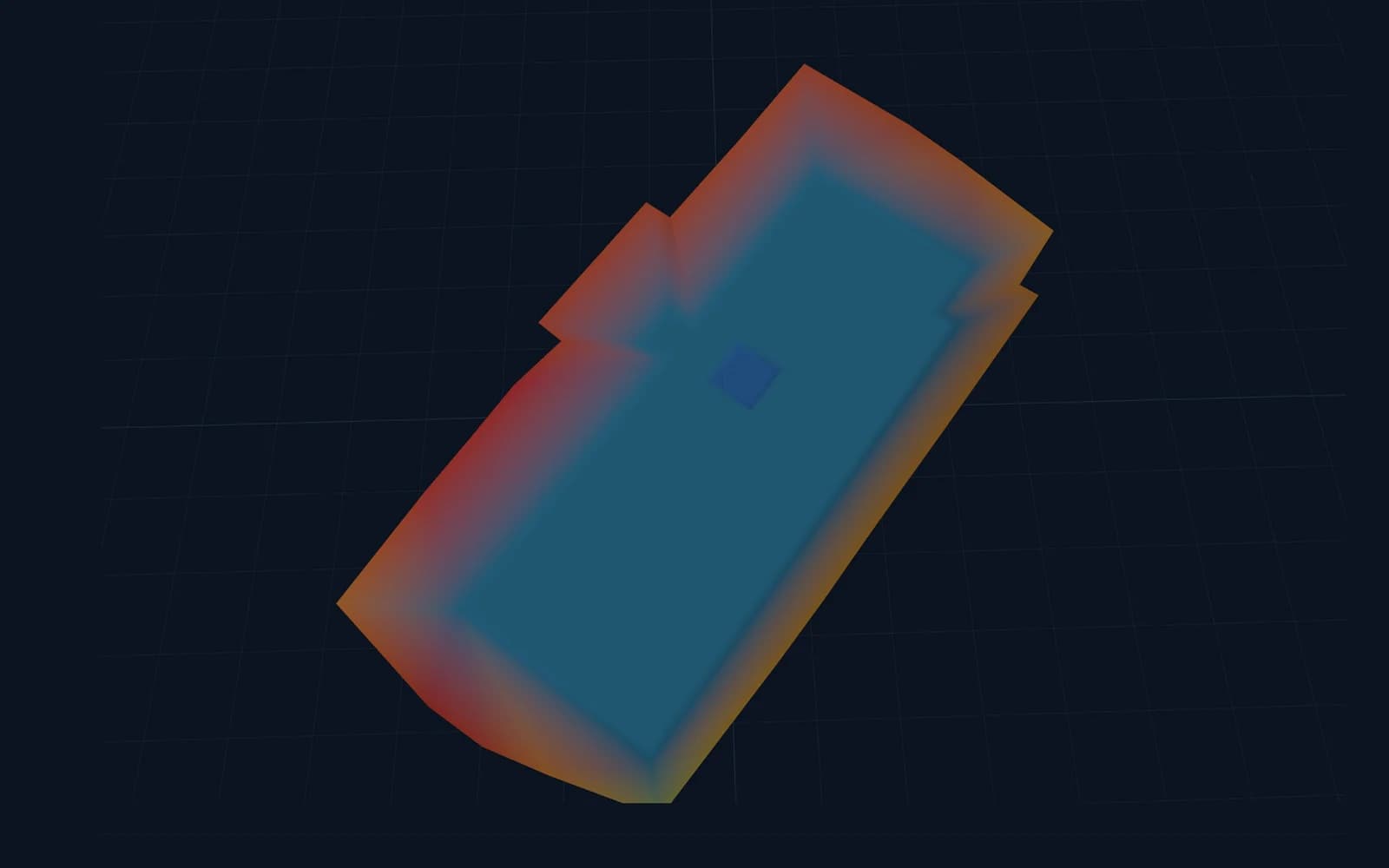
Every model is checked in several views. Switch between height colours, slope map, contours and triangle network.
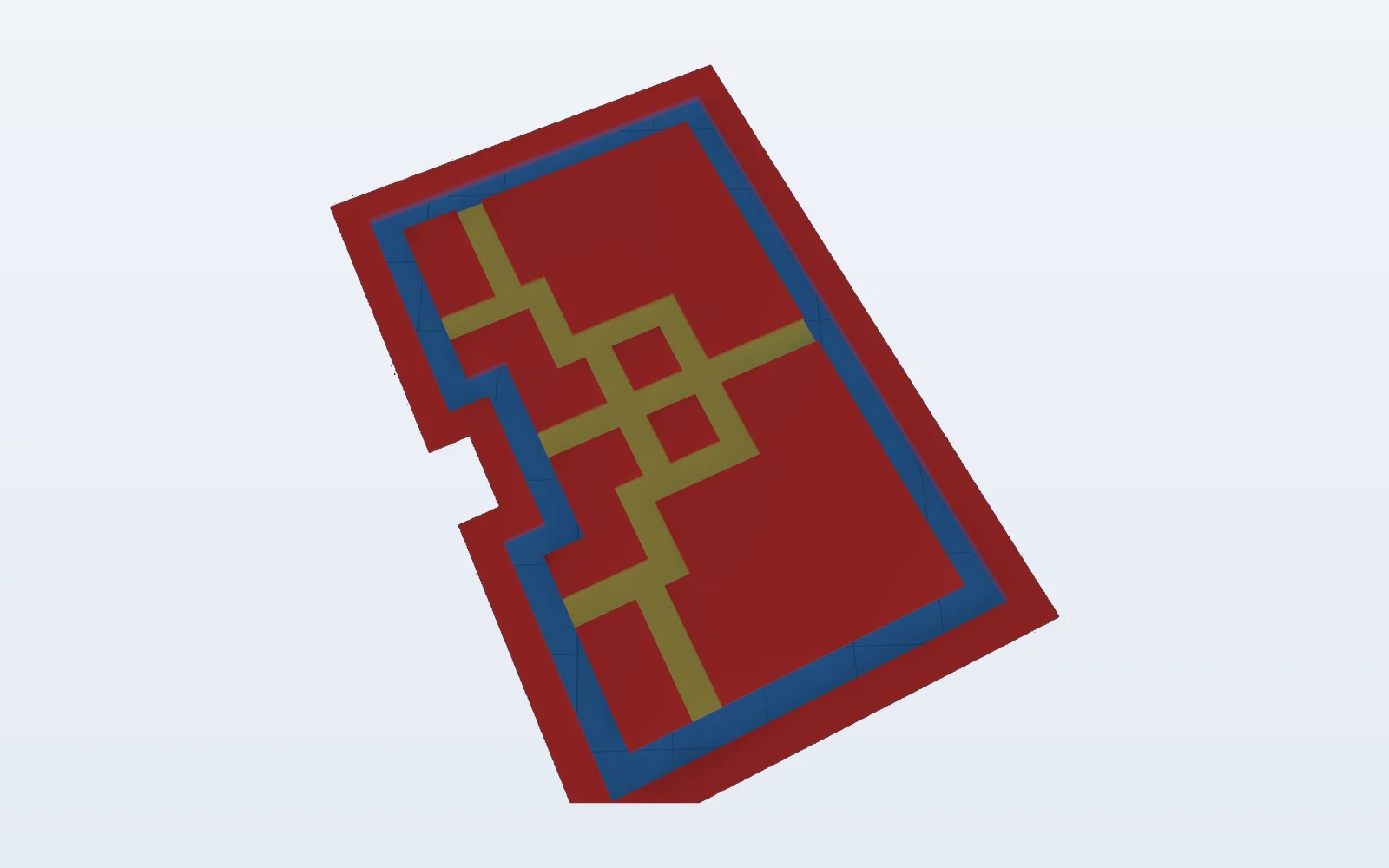
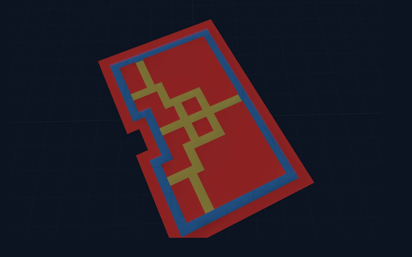
Platform with strip foundations
Machine control: Trimble, Topcon, LeicaA large working platform with a grid of strip foundations, each at its own level. The slope map shows straight away whether every strip drains correctly.
Battered excavation
Machine control: Unicontrol, CaterpillarAn excavation with slopes all round and a level bottom. The triangle network shows how the surface the machine guides on is built.
Your project next?
Send your plans, get a tailored quote
From excavation to road alignment: any project with GPS-guided machines.