Knowledge base
Checks and tolerances
A model is checked before it is delivered and should be checked again on site. How that check is done and which tolerances are common in practice.
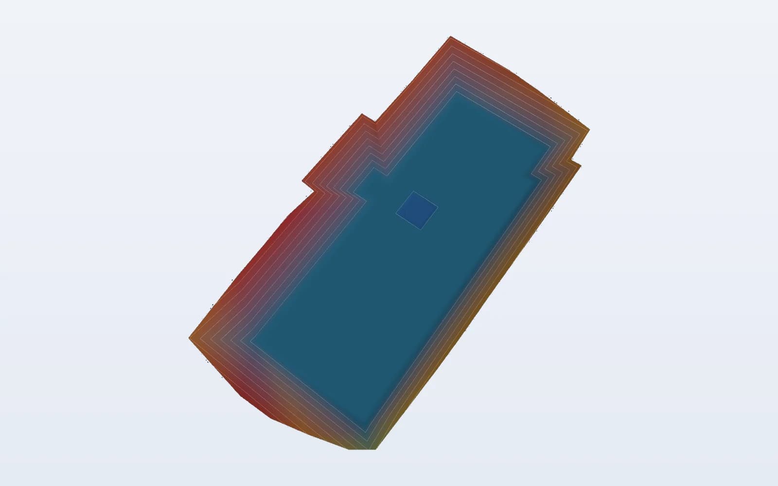
Checks during modelling
A model is not only built but also checked against the source drawings. That check happens at several levels:
- levels: the levels on the drawing (floor levels, kerbs, manhole covers) are compared with the model at the same location;
- gradients: longitudinal and cross falls are measured and compared with the sections;
- tie-ins: transitions between design parts and with the existing ground must show no steps or unexpected kinks;
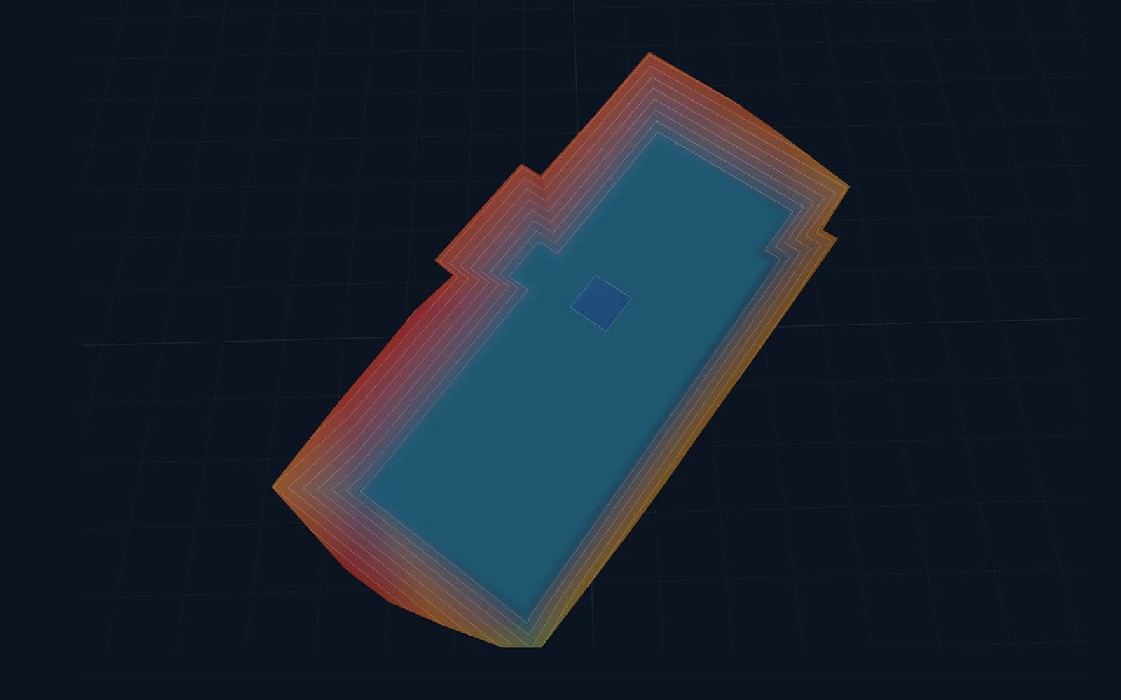
- contours: a contour view reveals irregularities, such as a carriageway sagging between two sections or a slope that suddenly changes gradient;
- completeness: are all areas, layers and lines needed for construction present.
Conflicts in the drawings
Drawings sometimes contain conflicting information: a level on the layout plan that does not match the long section, or a gradient that does not fit the levels given. Such points are not filled in silently but reported, so the designer or site manager can decide which value applies.
Tolerances in general terms
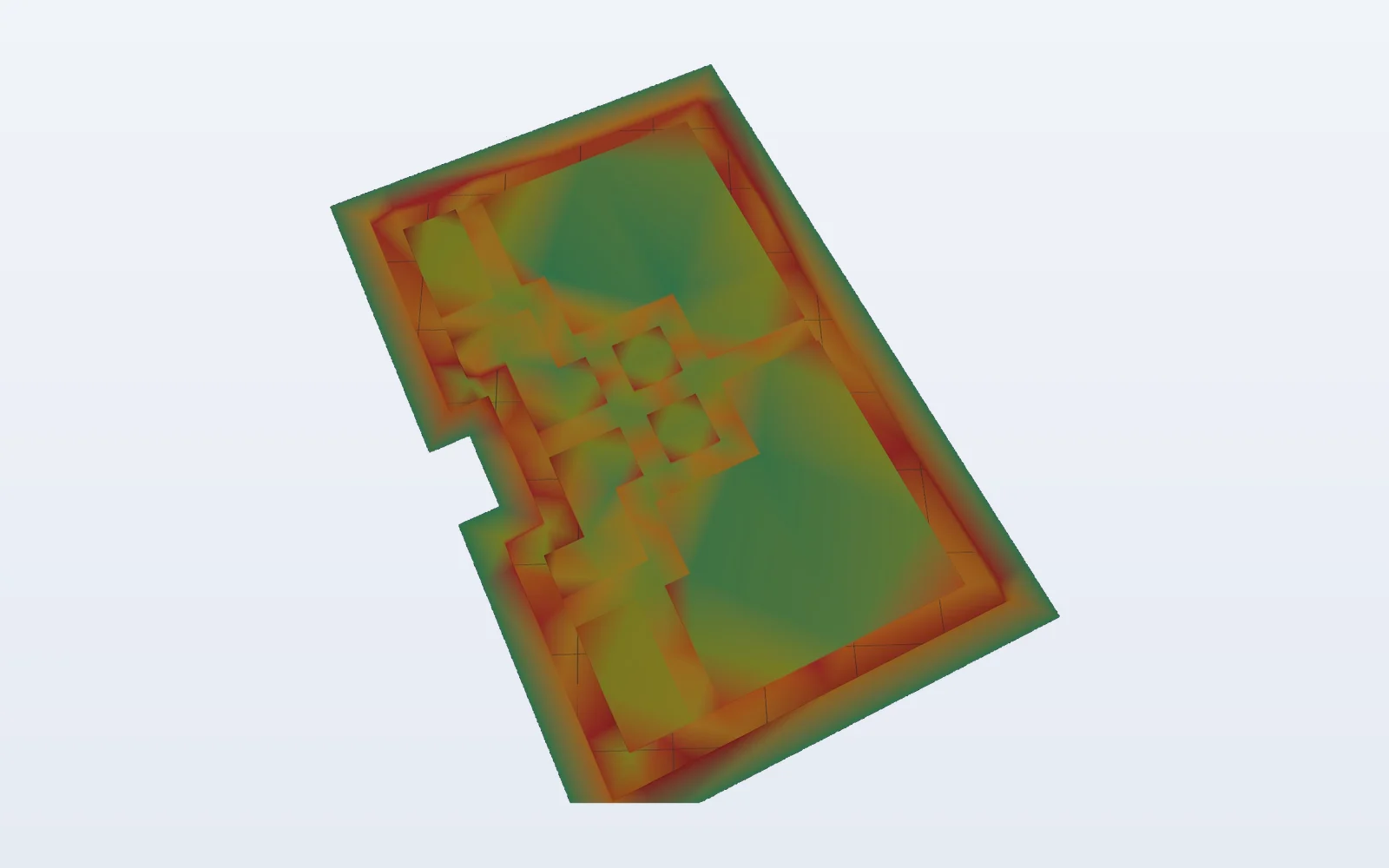
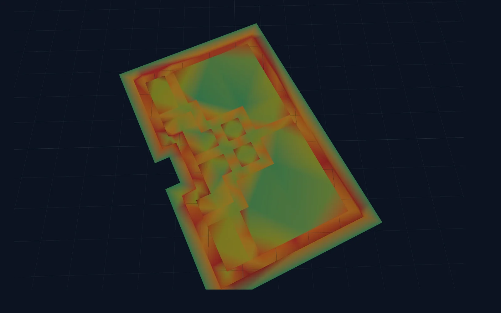
The accuracy achieved on site depends on more than the model alone: the type of positioning (GNSS or total station), the quality of the correction data, machine calibration and ground conditions. The model itself should therefore sit well within the tolerances of the works, so that it does not add noticeably to the total error.
In practice, earthworks usually allow tolerances of a few centimetres, while sub-base and finishing layers have tighter limits. The exact tolerances are set out in the specification or technical requirements of the project, which always take precedence. GNSS machine control is generally less accurate in height than in position, which matters for fine finishing.
Before you start
- 1Put the bucket or rover on a known point
- 2Compare position and height with the model
- 3Within tolerance? Then you can start
- 4Outside? Check system/calibration first
On-site check before starting
Before the first bucket goes into the ground, the model should be checked on site. It is a short but essential step:
- place the tool on a known point with reliable coordinates and level (a benchmark, an existing manhole cover or a surveyed peg);
- compare the displayed position and level with the known values;
- check on a second point, ideally at the other end of the site;
- if there is a deviation: first check the coordinate system, calibration and machine settings, and only then the model.